This essay by 485 Elm gardener and naturalist Ned Swanberg originally appeared is reprinted from the Bridge with the author’s permission.
ESSAY: Discovering Watershed Passages Through Time and Space
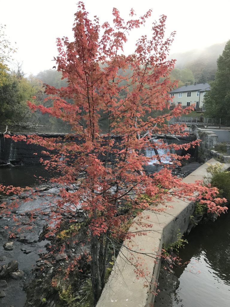
MONTPELIER — From the bridge near my home, I could drop a “Pooh stick” into the water of the North Branch below, and watch it float away. Launched with a special sort of twitch, the stick would swirl away downstream, pulled by gravity ever lower, until it finally reaches the ocean. Today, the stick would travel in a giant spiral: First, south on the North Branch, then west on the Winooski River, north through Lake Champlain and the Richelieu River, then finally east on the Saint Lawrence River to the Atlantic. Reverse that path and you have my current “watershed address.”
Last year, I moved from Sharon to Montpelier. In the process, I moved from the White River watershed to the Winooski River watershed. However, the watershed once was the same in both places.
How can an entire watershed change? There’s a clue right nearby if you know how to read soils. Just up the valley at the community garden on Elm Street, we have been working hard to break up the clay, build up the soil carbon, and moderate the soil. But how did those dense chunks of clay get there?
For over two million years, continental glaciers came and went across New England. The most recent glacial advance plowed over our northern New England mountains and eventually pushed up the piles of gravel that form Cape Cod and Long Island. The rock of our mountains (and its rubble) is composed of light-weight things like oxygen, silicon and aluminum. And after the glacier pulverized the trees, soil, and mountain rocks, the smallest particles that washed out from the melting glaciers were the aluminum silicates we know as clay.
When clay has been thoroughly mixed into water, it takes weeks or months to settle out. Clay is electrically charged, and it readily stays suspended in the charged ions of water.
Across New England, many places were under water as the glacier melted. Enormous lakes filled the valleys, and the still waters of the long, cold winters allowed the clay to settle out. The dense clay in the Elm Street community garden was once at the bottom of a lake.
If we could go back in time, a little over 12,000 years, we would see the glowing blue face of the continental glacier looming over the north edge of Montpelier. But looking around, we would find there still wasn’t much dry land. In fact, the clay-charged meltwater was high enough to cover the stone fire tower in Hubbard Park. The vegetable garden too would have been deep under the turquoise water and covered in clay.
The glacier was still thousands of feet thick, and the water flowed away where it could. If we had launched a fresh Pooh stick, maybe a willow wand, it would have floated south down the Stevens Branch toward Barre. Today that river flows the other way.
The spillway for that body of water, Lake Winooski, was through the Williamstown Gulf along Route 14. At the bottom of the cascade our willow wand would float onto enormous Lake Hitchcock and continue languidly down the White and Connecticut River valleys. The stick would pass right through Sharon as part of the watershed where I used to live.
Not so long afterwards, the glacier melted back near Jonesville, opening a way for water to flow west through the ramparts of the Green Mountains. The lake level dropped hundreds of feet, but most of Montpelier was still under water, now as part of Lake Vermont. With this new route, the water flowed slowly, and remarkably, “up” the Huntington River and Hollow Brook toward Hinesburg. To mark the arrival of this “new” but lower lake, we could, with a ceremonial “flippy-twist,” launch another Pooh stick and watch it float westward and then, spinning like Eeyore, drift off south over Albany, New York, following the Hudson River valley to the sea.
For a few thousand years, most of western Vermont was under vast Lake Vermont, which was roughly double the size of current-day Lake Champlain. Eventually, as the last of the great ice rotted, a new pathway squeaked open north of the Green Mountains. The very landscape was so pushed down by the weight of millions of years of glacial ice, that ocean water flooded into the valley to form the Champlain Sea. At least briefly (in geological terms), Vermont had a legitimate ocean coast, and small beluga-like whales. Montpelier itself emerged from the mud as part of the completely different St. Lawrence River watershed.
Curiously, without going anywhere, my community garden has been in three different watersheds. I know my watershed address today, and how I connect hydrologically to the world. But, if you happen to have an old watershed address for Montpelier, and a time machine, you might still find your way here.
Ned Swanberg
Posted by the Bridge July 21, 2017 in 2017 Issues, News & Features